
Where to next?
Luckily for me, I work two buildings down from the public library. During lunch, I walk over to check out the hiking section. Spotting a book titled 60 Hikes Within 60 Miles of Birmingham, I take it off the shelf.
Perfect.
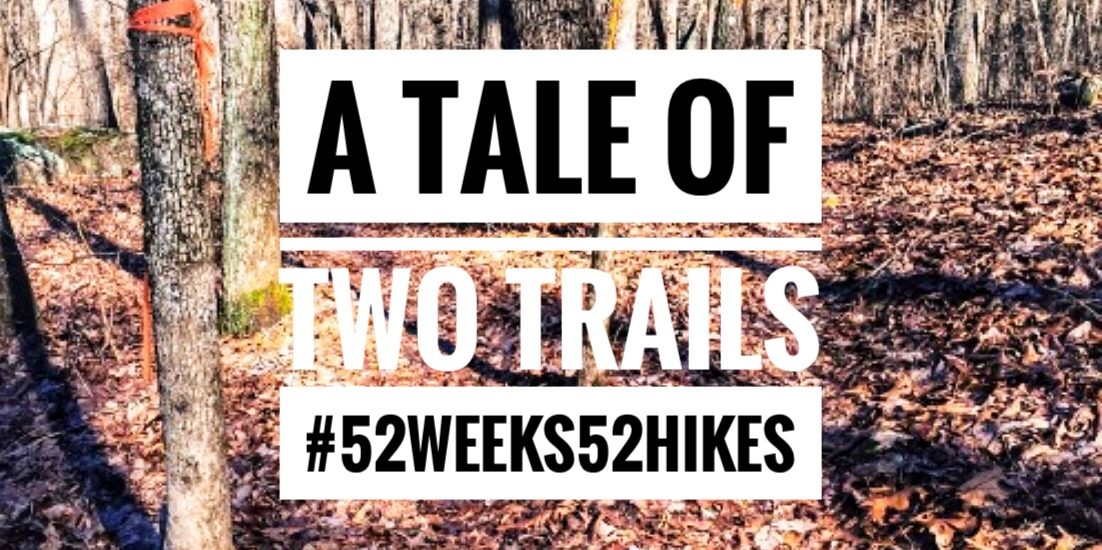
I consider doing all 60 hikes as I slowly turn the pages. That would be cool. A different hike each week. After a little free time in my head, this idea morphs into 52 hikes in 52 weeks — one hike each week in 2016, no repeats.
I’m not familiar with all of the book’s suggestions, and some of the hikes are on the shorter side. One area that all of the suggested routes are lacking in is elevation change. Finding hills to train on may prove to be complicated. North Alabama is situated in the foothills of the Appalachian Mountains, a range whose tallest peak is Mount Mitchell in North Carolina at 6,684 feet. And we’re in the foothills.
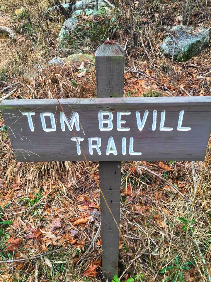
I settle on Guntersville State Park. Not too far from the house, plus I’ve been there before. I’ll do the Tom Bevill Interpretative Trail, which is rated easy, described as follows:
“The path is a nature trail, pure and simple, but the high route around Ellenburg Mountain and the variety of wildlife and vegtation that can be seen make it a special hike for people of all ages”
Desoto was hike one, Tom Bevill in Guntersville State Park will be number two.
Off to Guntersville State Park
Another cold, dreary, and grey morning. Not two minutes into the drive, it starts to sprinkle. Oh, no, not rain. I think about turning back. I can’t go if it’s raining.
And this is how it always starts.
It’s too cold. It’s raining. It’s too hot. One excuse is as good as another. After all, there’s always next week. I’m by myself. What difference will it make?
It takes everything I’ve got to resist the temptation to turn around. What if it rains at the Grand Canyon? Well, then it rains. Hell, it’s probably going to snow. There won’t be any stopping due to the weather, and I need to be prepared for anything. Happily, the rain has passed by the time I arrive. I commend myself for sticking it out and hope it’s done for the day. It may be wise to invest in some gear, at least a rain jacket, but for right now, the rain has stopped, and I’m good to go.
The Hike.
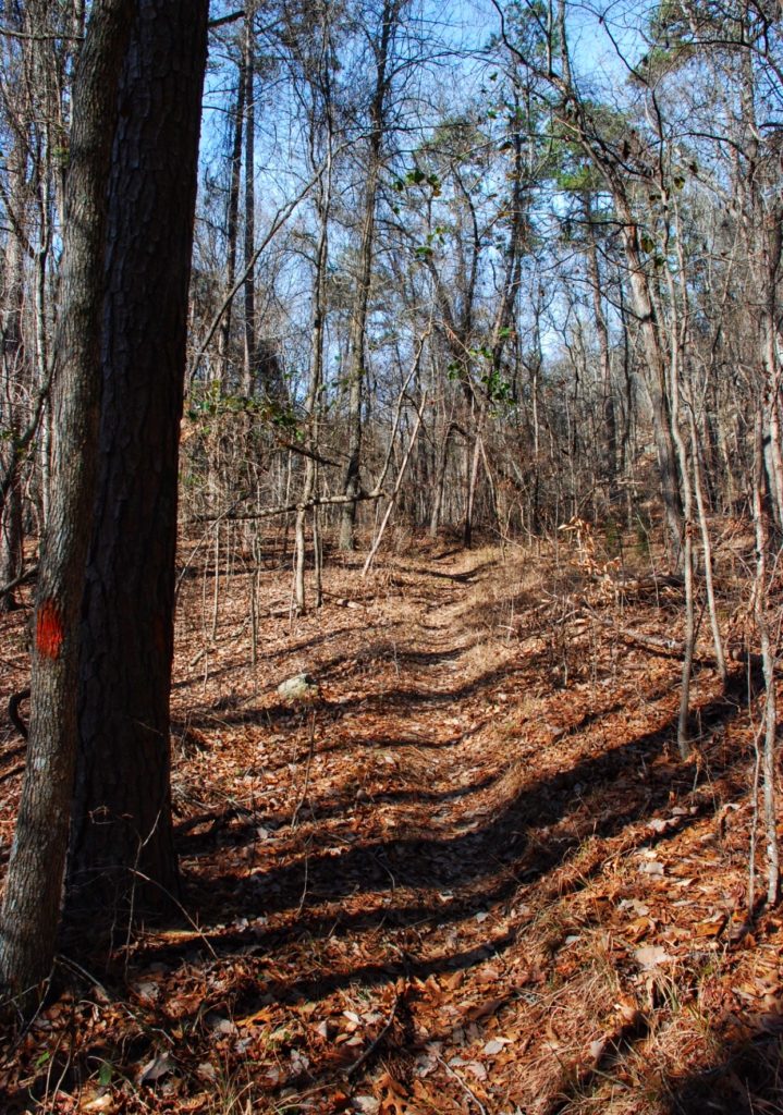
There’s a small dirt patch across from the trailhead for parking. Grabbing my beat-up bookbag/backpack, I throw it on, cross the road, and head up the path. According to the library book, there is a moderately steep stretch with a T intersection at the top.
A little winded from the climb, I’m grateful for the chance to hike along a more level trail. It’s January, and the trail is covered in leaves; it’s also getting noticeably thinner and harder to discern. Coming to an orange blaze on a tree trunk, I hang a left, continuing haplessly along the nearly invisible path.
I haven’t seen a blaze in quite a while, but press on until rounding a bend, I run straight into a wall of rock. A freakin’ wall of boulders is more like it. Weighing my options, I try to decide what to do. I can go over or go around. Going around involves wading through the lake or climbing up the side of the mountain. Going over would require a ladder or a running jump that could only end badly.
It occurs to me that I may not even be on the trail; it’s hard to believe that a track rated easy, little more than a nature path, would include scaling boulders. Realizing that I’ve gotten off track, I turn around, heading back in the general direction I came from, carefully retracing my steps. Spotting the orange blaze, I realize my error and continue up the original trail until I arrive at the intersection.
Back on Track.
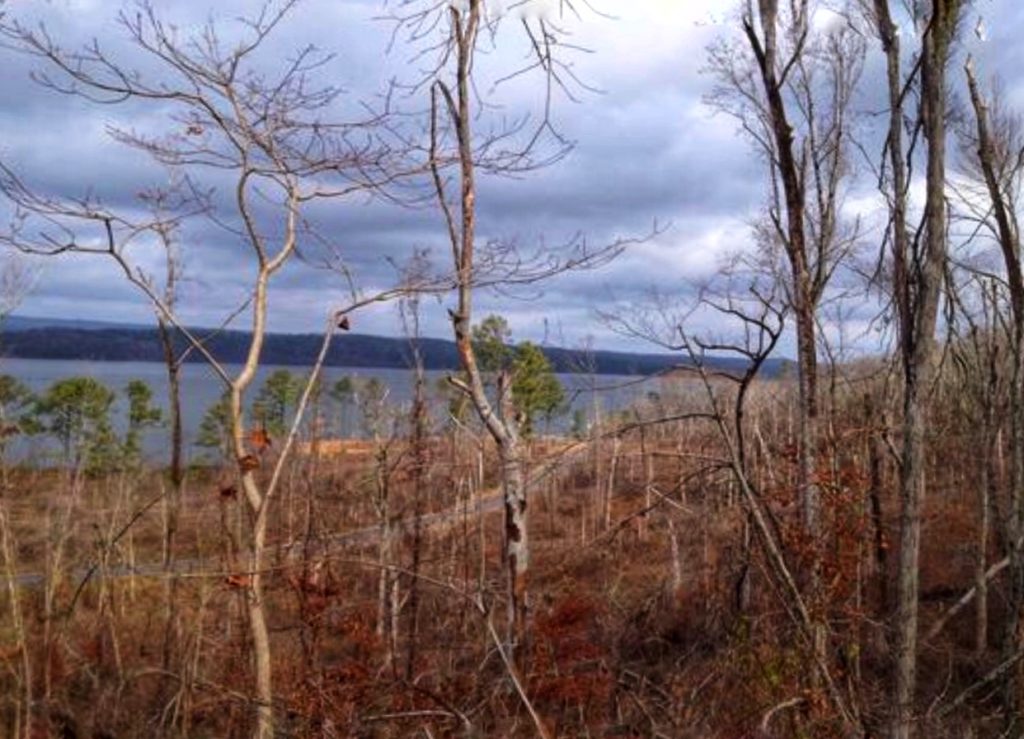
Now we’re talking; the trail is wide and clearly marked as I head around the mountain, views of Lake Guntersville glint through the trees. A nice benefit of winter hiking. Some runners pass by, going in the opposite direction. The sun peeks out, just a little, from behind the clouds, and I realize I’m grinning from ear to ear. It’s so peaceful out here. Meditative.
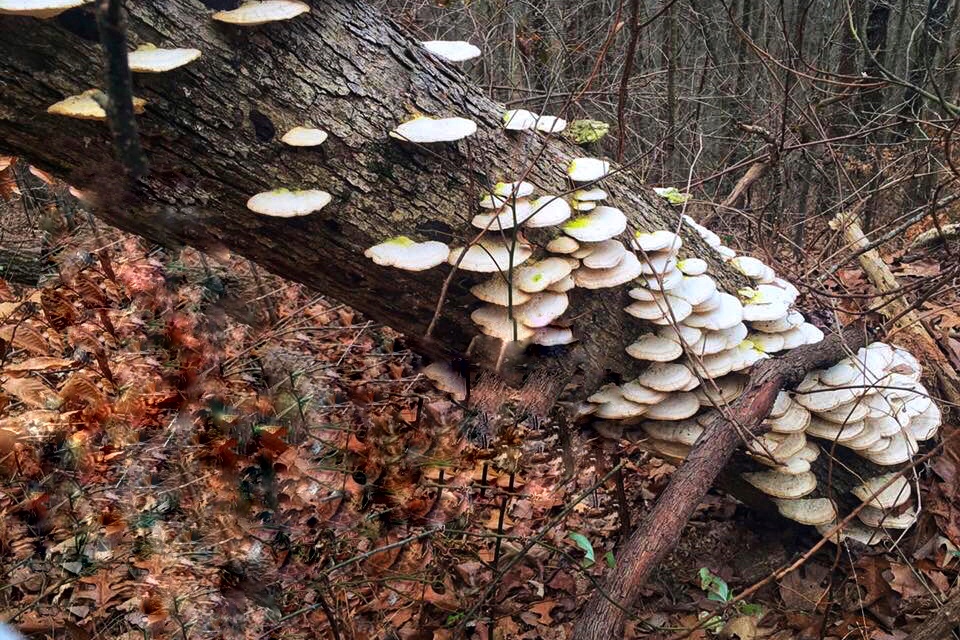
Further along, the ruins of a large farmhouse with its root cellar sit close to this trail. There’s also a one-room cabin used by early settlers for cooking. To the left are views of Graveyard Hill, where many of the early settlers to the area are buried.
Before I know it, I’m back at the intersection where the loop started, heading down the trail to the road. The mishap at the wall of boulders is quickly forgotten as I congratulate myself for being a hiker. I didn’t quit. Upon reflection, I barely considered quitting in what now I’ll call torrential rain. I have conquered the Tom Bevill Trail!
Without warning, the ground, and my ankle, give way, and I tumble unceremoniously on my ass.
Hubris has been punished.
Hike Two Is In The Books
I get up, dusting the leaves and dirt off my pants. I’m limping a little as I cross the street towards the car. My moments of bravado have been erased in a flash. I worry that I may be in over my head. The runners that I’d passed earlier jog by. The woman smiles, “Wow, you’re fast!”
And just like that, bye-bye self-doubt, hello greatest hiker of all time!
Hopping in the car, I head home eager to plan my next hike: two down, fifty to go.
![]()
![]()
As always, thanks for reading.
Get started writing your own story on the trails and transform your life. Join our Facebook Group here.
Keep up with the adventure with the 52 Weeks 52 Hike Journal. Grab your copy HERE.
[ctct form=”1329″ show_title=”false”]
SaveSaveSaveSaveSaveSave


